

SEQUOIA NATIONAL PARK HIKING TRAILS
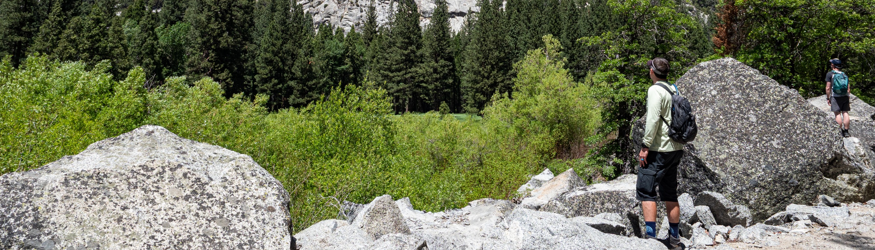
Whether you're a casual day hiker, backpacker or determined mountaineer headed for the summit of Mount Whitney, there's a trail for you. More than 800 miles of marked trails may be accessed from 25 trailheads across the parks.
In Sequoia National Park, get ready to see sights comparable to nothing else. Here you can see the world's largest tree, climb 400 granite steps to view the Great Western Divide and so much more. Read on to learn more about hiking in Sequoia National Park.


Giant Forest Area
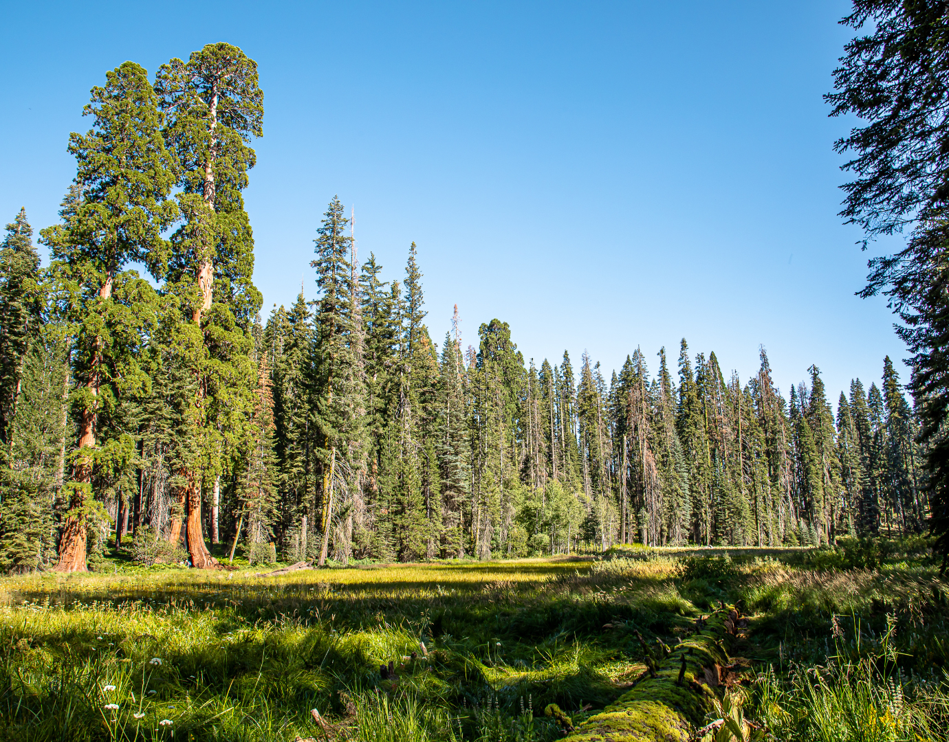
Congress Trail: Enjoy an easy stroll through the heart of the Giant Forest Grove and into Alta plateau. This 2 mile hike takes about 1.5 hours and is home to the world's largest tree, the General Sherman. As you walk along the pathways, you'll run into other notable sequoia trees such as President, Chief Sequoyah, General Lee and McKinley.
Big Trees Trail: This self-guided paved trail is graded for accessibility. It circles Round Meadow and features trail-side exhibits about the sequoia habitat. The trail is 1.5 miles in length and takes roughly 1 hour to complete. While you're there make sure to stop by the Giant Forest Museum to learn the story of the giant sequoias and Giant Forest.
Crescent Meadow/Log Meadow Loop: If you follow the signs to Tharp's Log, you will see meadows, giant sequoias, the park's oldest cabin, dense fir forest and wildflowers (when they are in season). This easy 1.8 mile hike will surely wow you with it's beauty.
- High Sierra Trail to Bearpaw Meadow: The trailhead is located at Crescent Meadow and 11.5 miles each way. Well marked and easy to navigate, the High Sierra trail is considered moderate with a warm southern exposure. The trail follows a ridge line of mixed conifers, offering spectacular views of the Great Western Divide and lush meadows along the journey. The journey gains and loses elevation the entire way. It is wise to rest and enjoy Buck Creek (it has a concrete bridge) because the last 1.3 miles gains 600 vertical feet and is without water. The High Sierra Trail crosses three major tributaries before reaching Bearpaw High Sierra Camp. A Number of popular day hikes are accessible from the camp.
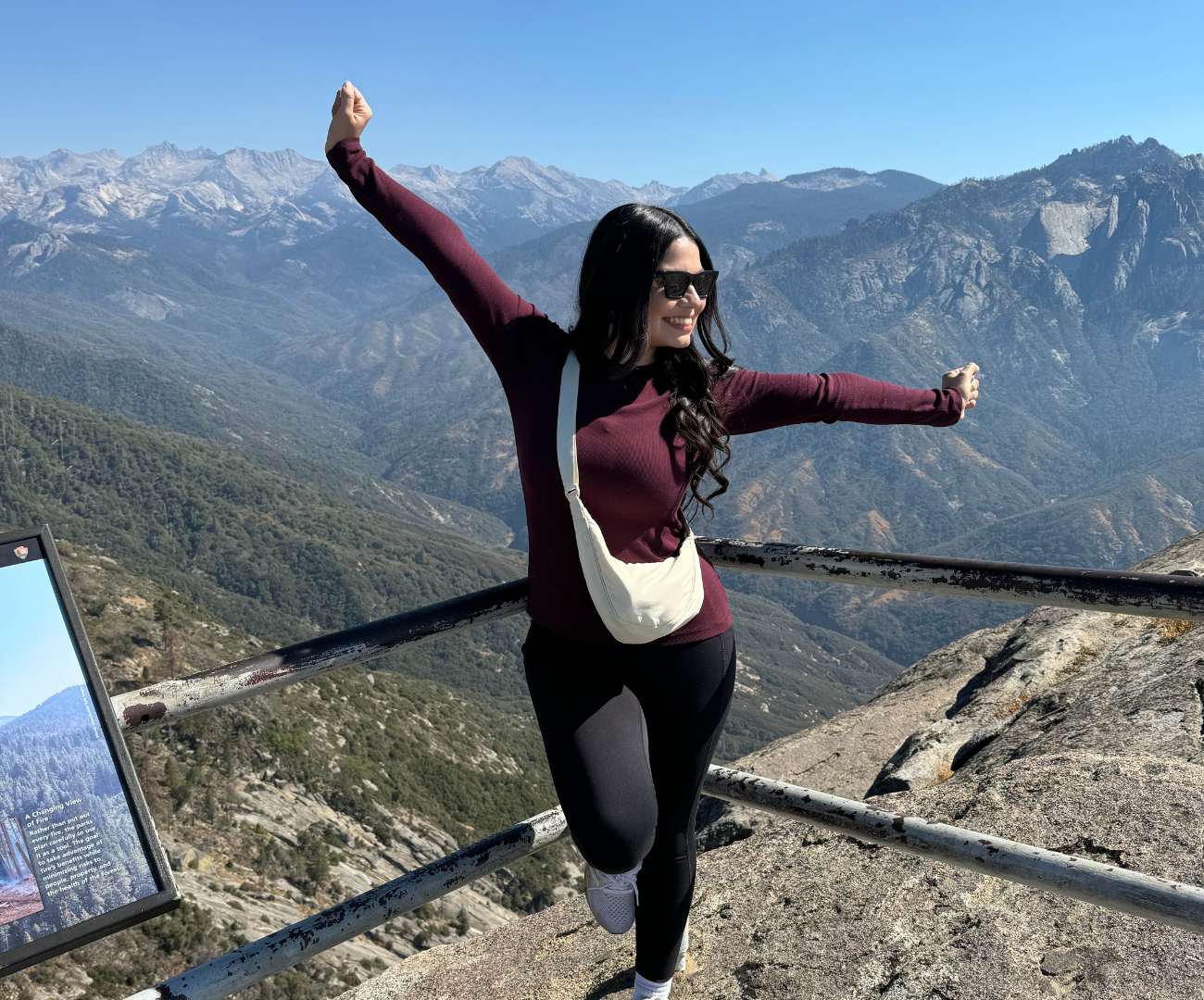
Moro Rock/Soldiers Trail Loop: Climb 400 steps up Moro Rock, a huge granite dome, for panoramic views of the Great Western Divide. As you walk this moderately difficult, 4.6 mile trail enjoy the sights of Roosevelt Tree, Triple Tree, Tunnel Log and historic Soldiers Camp.
Hazelwood Nature Trail: This pleasant Sequoia hiking experience will take you along gentle grads through excellent stands of giant sequoias. Trailside exhibits tell of historic figures who helped make these parks what they are today.
Dorst Campground Area:
Muir Grove: This 4-mile round trip trail will lead you to a lesser visited grove of sequoias. At the halfway point, a granite dome at the trail’s edge offers views of Big Baldy and Chimney Rocks. Look in the distance for Muir Grove, with the rounded tops of the giant sequoias. The maintained trail ends among the giant sequoias in Muir Grove. Trail head is in Dorst Campground - group site B. The campground is closed, which adds a little time to your hike.

Mineral King Area
Hikers must drive to reach the Mineral King trails. The drive over the 25-mile winding road takes about 1.5 hours from Highway 198 in Three Rivers.
Eagle Lake Trail: This moderately difficult, 6.8 mile trail is well worth the trek. It begins with a gentle incline which becomes steep near Spring Creek where you can view incredible sights. At Eagle Sink Hole, you can watch as flowing water disappears into the ground. When you round the corner and continue for 1.5 miles you'll find yourself at Eagle Lake. Make sure to carve about 4 hours out of your visit for this adventure.
Monarch Lake Trail: Monarch Lakes are nestled in a dramatic cirque beneath Sawtooth and Mineral Peaks. Hikers that brave the steep trail to the lakes basin are rewarded with great views of the East Fork Kaweah Valley, Monarch Canyon and the Great Western Divide. Distance: 9 miles round-trip; difficulty level: moderate-strenuous.
Franklin Lakes Trail: A popular day hike that will take you to a scenic view above Lower Franklin Lake. This bird's-eye view of the lake shares photogenic scenes beneath towering peaks. Enjoy this 12 miles round-trip hiking experience for a moderate to strenuous adventure. Beyond the lakes, the trail climbs to Franklin Pass, which crosses the Great Western Divide.

Wolverton Area
Alta Peak Trail: Through strenuous, this Sequoia hiking trail to Alta Peak is considered by many to be one of the best day hikes in Sequoia National Park. At 11,204 feet, the summit of Alta Peak provides jaw-dropping views of the Great Western Divide and the High Sierra. On a clear day you can even see all the way to Mt. Whitney. Distance: 7 miles each way; 7-8 hours round-trip.
Lodgepole Area
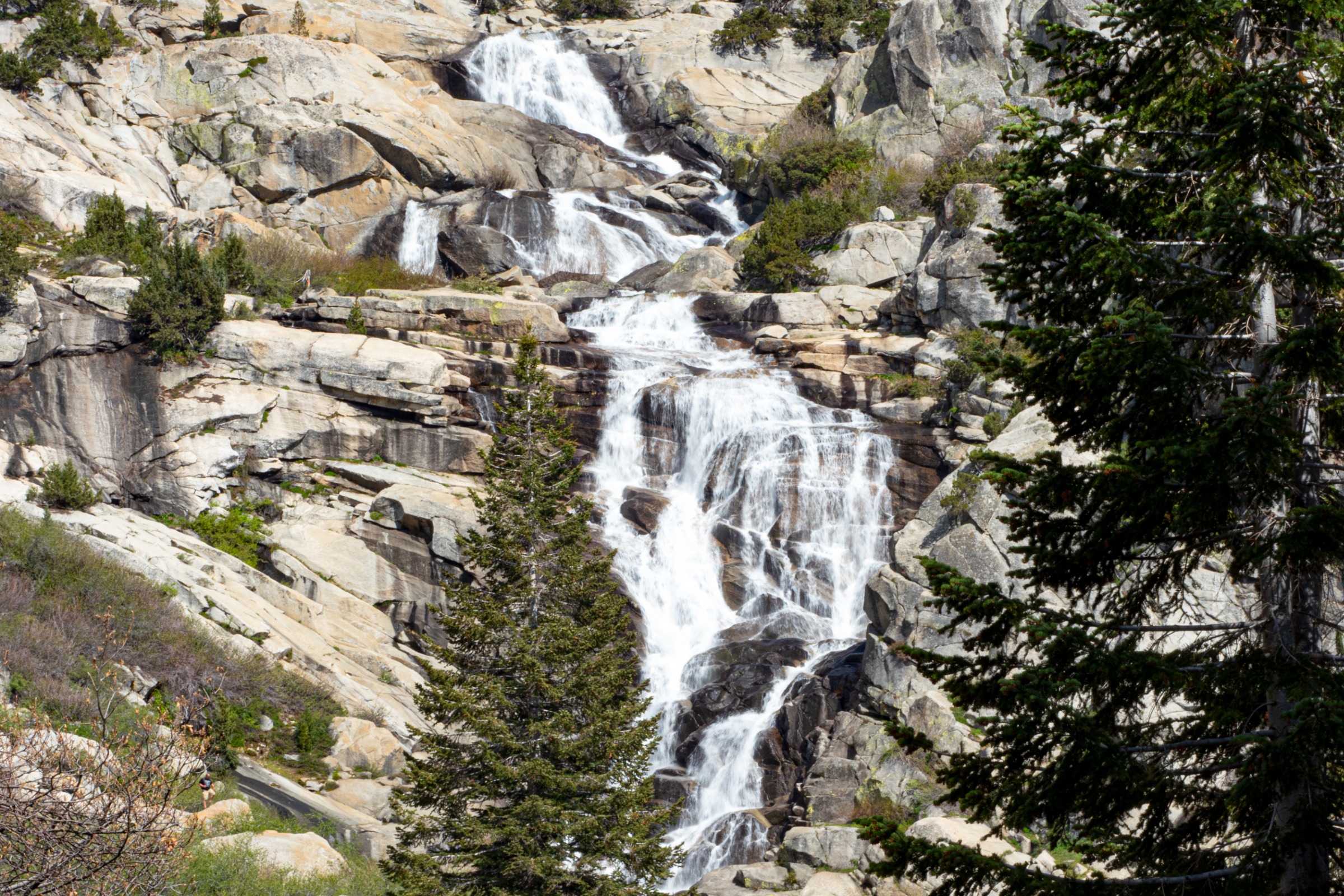
Tokopah Falls Trail: The trail to Tokopah Falls is an easy walk along the Marble Fork of the Kaweah River. Tokopah Falls is 1,200 feet high and most impressive in spring and early summer. It is the tallest waterfall in Sequoia National Park, but unlike the famous free-falling waterfalls in other national parks, Tokopah Falls features a long series of steep picturesque cascades. This hike is 4.2 miles round-trip and is enjoyable for hikers of all abilities.
Twin Lakes Trail: Nestled into a basin below the rugged spine of the Sillman Crest, the Twin Lakes beckon day-hikers and backpackers to their placid shores during the summer months. Despite the symmetry implied in their name, the lakes actually bear little resemblance to each other. This hike is just short enough for ambitious day-hikers and beginning backpackers. Distance: 13.6 miles round-trip; Difficulty level: strenuous