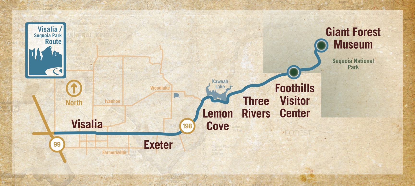
MAPS TO VISALIA AND SEQUOIA AND KINGS CANYON NATIONAL PARKS
Visalia is located in California's Central Valley and is known as the Gateway to Sequoia and Kings Canyon National Parks. These helpful maps provide guidance on the best directions to get to Visalia. Just 3 hours from Los Angeles and 3.5 hours from San Francisco, Visalia's location in the middle of the state make it easy and convenient to visit Visalia and the nearby majestic national parks.


Sequoia & Kings Canyon National Parks Map
(Sequoia National Park's website)
Online mapping tools, click: SEKI map options

Two park entrances from Visalia:
Sequoia National Park from Highway 198 (about 40 minutesby car)
Kings Canyon National Park from State Route 63 to Highway 180 (about 1.15 minutes by car)
General's Highway is the road inside the parks connects both parks together,
check for closure of the road in the winter months - Current Conditions

Sequoia Shuttle
Sequoia Shuttle service operates from about Memorial Day to Labor Day in the summer season, book your ride here: Sequoia Shuttle Reservations


